Tropical Storm Karina Upgraded to Hurricane Status in the Pacific
Tropical Storm Karina has intensified into a hurricane with potential for major storm development this week. While currently far from land, its effects could still be felt along parts of the Mexican coast.
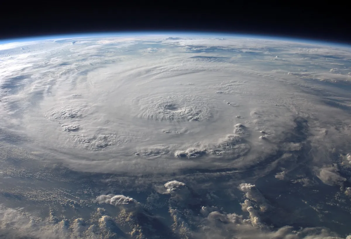
On Sunday, Tropical Storm Karina escalated into a hurricane in the Pacific Ocean, marking a significant development in the current weather patterns. With maximum sustained winds reaching 80 miles per hour (130 kilometers per hour), Karina is classified as a Category 1 hurricane. Meteorologists at the National Hurricane Center in Miami report that the storm could evolve into a major hurricane later this week, a classification that begins at Category 3 and above. Although Karina's center remains over open waters, forecasters are closely monitoring its trajectory and potential implications for coastal regions.
Current Status of Hurricane Karina
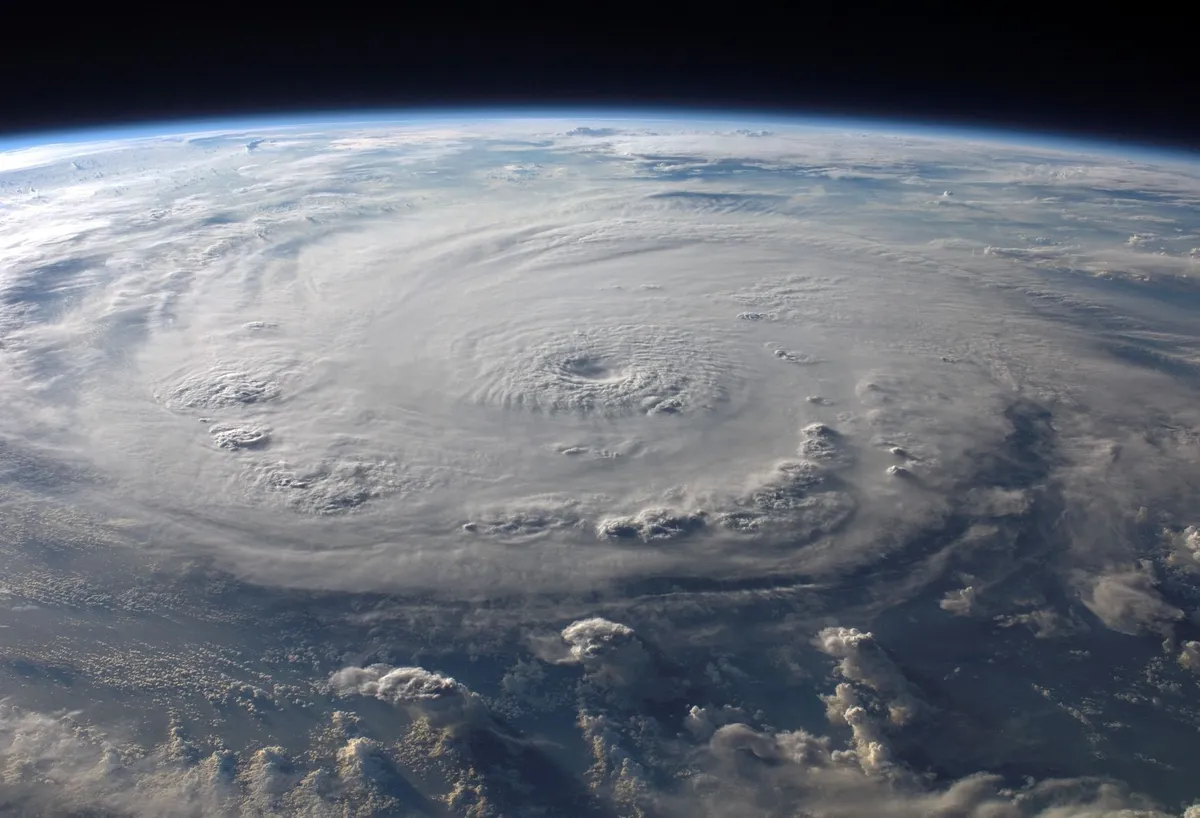
The latest updates from the National Hurricane Center indicate that Hurricane Karina is situated approximately 820 miles (1,325 kilometers) southwest of the southern tip of Mexico's Baja California Peninsula. The storm is currently moving northwest at a pace of 15 miles per hour (24 kilometers per hour), which places its forecast path further out into the Pacific, minimizing immediate threats to land.
Potential Impacts
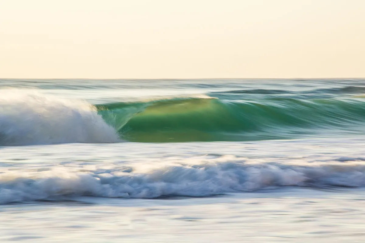
While Hurricane Karina is expected to remain well offshore, its presence is likely to generate significant swells along parts of southwest Mexico and the Baja California Peninsula. These swells can lead to hazardous surf conditions and increase the risk of rip currents, making coastal activities potentially dangerous. Beachgoers and local authorities are advised to remain vigilant and heed safety warnings regarding surf conditions.
Comparison with Other Weather Patterns
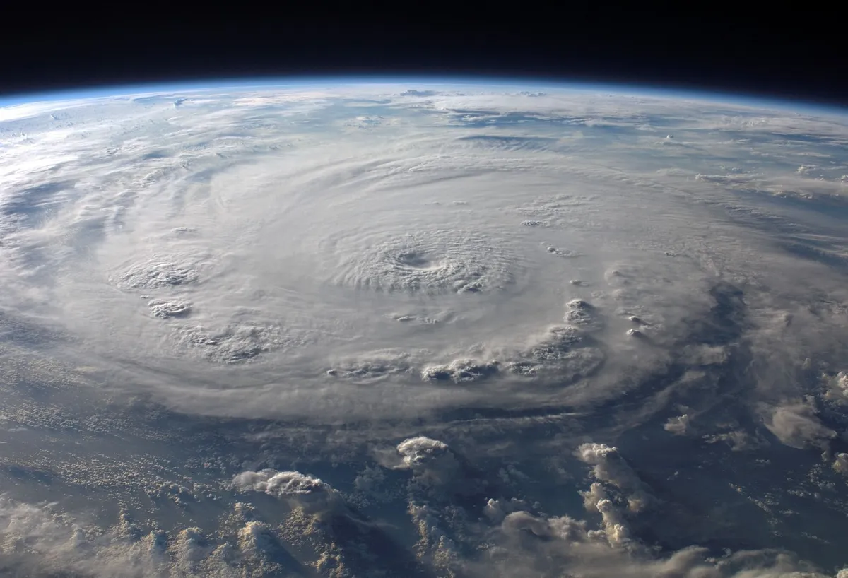
In addition to Hurricane Karina, meteorologists are also tracking Tropical Storm Lowell, which is located approximately 1,150 miles (1,850 kilometers) southeast of Hawaii. Similar to Karina, Lowell poses no immediate threat to land but serves as a reminder of the active storm systems currently present in the Pacific. As these storms develop, they highlight the importance of staying informed and prepared for potential weather changes.
Seasonal Outlook and El Niño Effects
The National Oceanic and Atmospheric Administration (NOAA) has recently released its forecasts for the Atlantic hurricane season, predicting a below-average season largely influenced by El Niño conditions. This year, NOAA anticipates:
- 8 to 14 named storms
- 3 to 6 storms reaching hurricane strength
- 1 to 3 storms intensifying into major hurricanes
The interplay between El Niño and hurricane activity is a complex phenomenon, often leading to variations in storm development and intensity. Understanding these patterns can help communities and individuals prepare for the impacts of severe weather.
What to Expect Moving Forward
As Hurricane Karina continues its journey through the Pacific, it serves as a reminder of the ever-present potential for tropical storms to develop into major hurricanes. Residents along coastal areas should monitor updates from weather authorities and remain prepared for any changes in the storm's trajectory. While the current forecast suggests that Karina will not make landfall, the situation is fluid, and updates are crucial for ensuring safety.
Key Takeaways
- Tropical Storm Karina has strengthened into a Category 1 hurricane.
- The storm is located 820 miles southwest of Baja California, moving northwest.
- Swells from Karina may cause hazardous surf conditions along parts of southwest Mexico.
- NOAA forecasts a below-average Atlantic hurricane season influenced by El Niño.
- Stay informed of updates and heed local safety advisories regarding surf and weather conditions.
Frequently Asked Questions
What does it mean for a storm to be classified as a hurricane?
A hurricane is a tropical cyclone with sustained winds of 74 miles per hour (119 kilometers per hour) or higher. The Saffir-Simpson Hurricane Wind Scale categorizes hurricanes from Category 1 to Category 5 based on their wind speeds and potential damage. Category 1 storms have winds of 74-95 mph, while major hurricanes are classified as Category 3 or higher, exhibiting even greater wind intensity and destructive potential.
How does El Niño affect hurricane activity?
El Niño is a climate pattern that occurs when sea surface temperatures in the central and eastern Pacific Ocean become warmer than average. This phenomenon can influence weather patterns globally, including those in the Atlantic hurricane season. Typically, El Niño results in increased wind shear and atmospheric stability, which can suppress hurricane formation, leading to a below-average number of storms in the Atlantic while allowing for more activity in the Pacific.
What safety measures should be taken during hurricane season?
During hurricane season, individuals and families should prepare emergency kits with essential supplies, including non-perishable food, water, medications, flashlights, and batteries. It is also advisable to create a family emergency plan that includes communication strategies and evacuation routes. Monitoring local weather updates and heeding alerts from national and local authorities is critical for ensuring safety during severe weather events.
What should I do if I experience dangerous surf conditions?
If you encounter dangerous surf conditions, it is crucial to stay out of the water and avoid swimming or engaging in water activities. High surf and rip currents can pose serious risks, even for experienced swimmers. Always pay attention to warning signs and advisories from local authorities, and consider seeking shelter or relocating to safer areas if conditions worsen.
This content is general information, not legal advice.
Comments
NASA Launches Roman Space Telescope: A New Era in Cosmic Exploration
NASA's groundbreaking Roman Space Telescope is set to revolutionize our understanding of the universe. Launched aboard a Falcon Heavy rocket, this $4.3 billion telescope will explore dark energy, hunt for exoplanets, and provide a wider perspective than ever before.

Related articles
Popular in Guides
- Lake Mead Reaches Historic Low: Understanding the Impacts of Water Scarcity
- Fires and Ferns: Understanding Ancient Europe's Climate Catastrophe
- Unveiling Hidden Stars: Astronomers Discover Four New White Dwarfs
- Understanding the Impact of Hawaii's Online Booking Fee Tax Ruling
- Navigating South Carolina Rental Property Law: A Comprehensive Guide